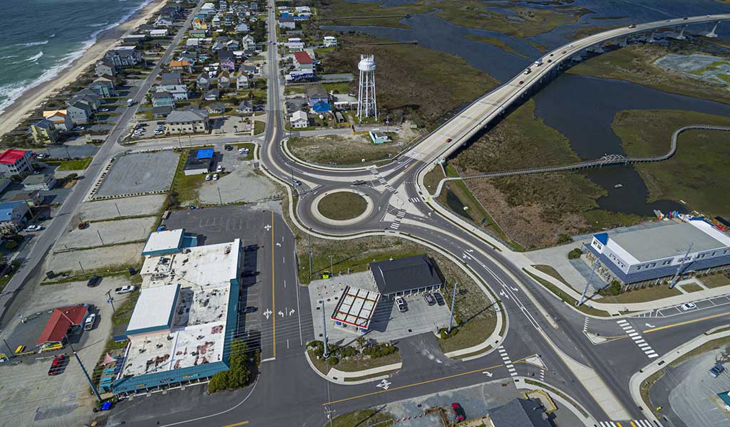
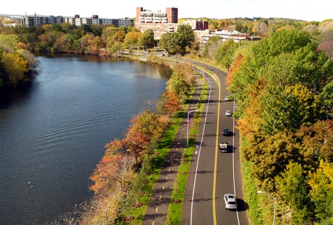
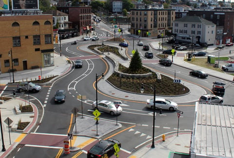
To prioritize and identify projects for funding based on volume-to-capacity ratio, NCDOT needed to understand seasonal traffic patterns for all 100 North Carolina counties and VHB was tasked with generating Peak Average Daily Traffic factors. To better understand how we could integrate sustainability in future projects, the VHB team conducted an internal workshop focused on encouraging holistic thinking around the use of VHB’s Intersect. The group uncovered multiple social, environmental, and economic impacts of the project based on data from Intersect. Walking participants through an exercise designed to broaden perspectives by incorporating traffic data allowed the group to see the project through the lens of sustainability and consider such items as extending useful life, improving safety, strengthening resilience during emergencies, reducing environmental impacts, increasing efficiency, and supporting economic growth.
After sharing the workshop results with the client, Jason Schronce, NCDOT’s Strategic Prioritization Office of Transportation Manager, told VHB:
“
NCDOT is very interested in looking at the project prioritization from a sustainability perspective. VHB’s exercise supports NCDOT’s effort to look at equity for quantifying the benefits they usually do not measure. This exercise will also help in communicating that NCDOT projects have a greater impact on sustainability.”
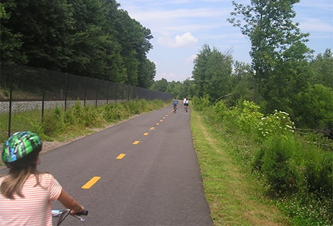
Social—In the United States, North Carolina’s coast is one of the most exposed to a direct hurricane strike and the entire state has been impacted by hurricanes over the past 20 years. In addition to daily travel, an important function of the NCDOT along with the North Carolina Department of Public safety is to plan evacuation routes for residents to leave threatened areas quickly and efficiently. Using the highly accurate traffic data from Intersect, NCDOT could create more reliable evacuation routes and emergency response routing, providing a safe exit from dangerous hurricane zones along with a safer route for motorists and their families.
Environmental—When considering the prioritization and identification of roadway and highway projects for funding based on volume-to-capacity ratio, it can be difficult for agencies to accurately identity traffic patterns and volume over extended time and areas. When introduced to the Intersect travel data through the lens of sustainability, workshop participants recognized that the data allowed them to proactively plan for roadway maintenance, therefore extending the lifecycle of pavement across their highway system. With a comprehensive understanding of long-term vehicular wear, NCDOT could better prepare budgets, reduce the need for deployment of equipment and personnel on heavily traveled roadways, and limit waste and resources by unnecessary construction and repair.
Economic—Tourism is a major contributor to the development of North Carolina’s economy, generating significant economic benefits for residents, businesses, and governments. As one of the most visited states in the U.S., creating safe and easy access to residents and visitors is vital to the continued impact of tourism across the state. The participants quickly recognized that using traffic data as a benchmark NCDOT could improve access to seasonal recreational facilities directly impacting tourism and the economic vitality of communities across the state.