This year, VHB joined organizations worldwide in our annual celebration of GIS Day 2025 under the theme “Where Spatial Meets Everything.” The message—that geography and spatial thinking connect people, places, and challenges—also reflects our technology-enabled approach to solving our clients’ and communities’ most complex challenges, and the data-informed solutions our GIS professionals make possible.
Our firmwide celebration brought together colleagues and partners for a virtual event featuring David Reeves, Senior Solutions Engineer with Esri. David shared how ArcGIS is evolving as a geospatial AI platform and how these technologies are helping people across disciplines solve everyday challenges.
Dale Abbott, Corporate GIS Lead, and Amy Haas, Lead Geospatial Technologist, helped organize the virtual event and coordinate activities across VHB that strengthen our culture of learning and innovation.
“GIS is more than a technology—it’s a foundational mindset rooted in curiosity and a drive to solve real-world challenges,” said Greg Bosworth, VHB Chief Technology Officer. “The majority of our projects are inherently spatial in nature. By embedding spatial thinking into how we approach our work, we understand the broader community impacts of the solutions we develop with clients. This spatial literacy across VHB enables us to deliver truly innovative solutions that help build stronger, more connected communities.”
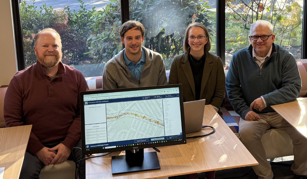
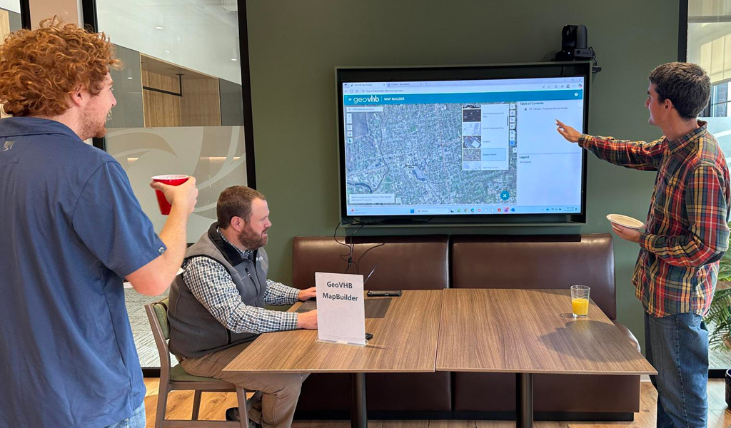
More regional GIS Day events added another layer of connection and creativity. In Watertown, MA, teams hosted hands-on stations demonstrating upcoming additions to GeoVHB, our web-based geospatial data portal with applications for teams across VHB’s footprint. The tool aligns data and resources across the company, supporting a wealth of applications like Sustainability Explorer and the Healthy Mobility Model dashboard. VHB employees in Vermont, Portland, Bedford, and others across the Northeast and Southeast organized breakfasts, demos, and collaborative AI activities. These events, led by VHB Regional GIS Leads, encouraged colleagues to explore new tools, exchange ideas, and see GIS in action.
Client partnerships were also an important part of the week. At MassDOT’s GIS Day, our team presented alongside other transportation leaders, sharing insights on how spatial data supports infrastructure and community planning. VHB professionals also joined Fairfax County and Virginia Department of Transportation (VDOT) Hampton Roads events, contributing to discussions on how GIS can help public agencies make data-driven decisions that benefit their communities.
Whether collaborating with clients or among colleagues, VHB’s GIS professionals share a deep curiosity and commitment to solving complex, real-world problems.
Learn more about VHB GIS Technology Solutions.