Forward-thinking insights focused on a more sustainable tomorrow.

Beneath the Surface: A Day on the Water with VHB’s Hydrographic Survey Crew
October 2025
Bob Taliaferro, LS, CH joined us from Waterway Surveying and Engineering, bringing more than four decades of experience in hydrographic surveying. Throughout his 45-year career, he has seen the field transform—from advances in technology to evolving regulations and permitting—making him a trusted advisor who understands both the history and future of this specialized work.
Bob recently spent a day on the York River with our hydrographic survey crew at the Virginia Institute of Marine Science (VIMS) boat basin. With the team ready and equipment calibrated, Bob offers a behind-the-scenes look at what it takes to run a successful survey on the water. This is Bob’s story.
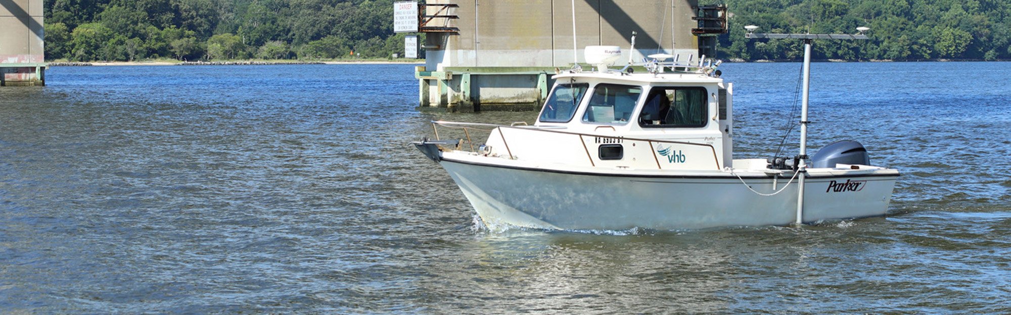
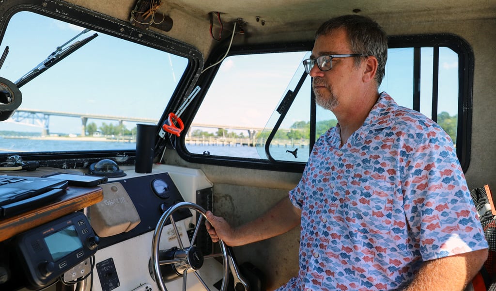
I’m getting picked up at the dock at Gloucester Point, Virginia, for a day out on the water with our hydrographic survey crew. Before a single piling is driven or a dredge touches the water, you have to know exactly what’s beneath the surface. Hydrographic surveying provides that critical picture—delivering precise depth and shape data that underpins safe navigation, sound engineering, and smart waterfront planning. Today we are on the York River at the VIMS boat basin to run a survey. Rod Workman and Chris Fletcher—who’ve each been doing this work for more than a decade—are already in the smaller boat, calibrating the single-beam and multi-beam scanners so the sonar readings reflect the true depth and shape of the riverbed.
Hydrographic surveying isn’t something you just jump into—it takes experience, patience, and the right gear. The team runs through a final check: sonar devices, total stations, survey logs, backup equipment. Every piece has its role. Out here, precision matters, because we’re collecting data that future projects depend on.
Mapping What You Can’t See
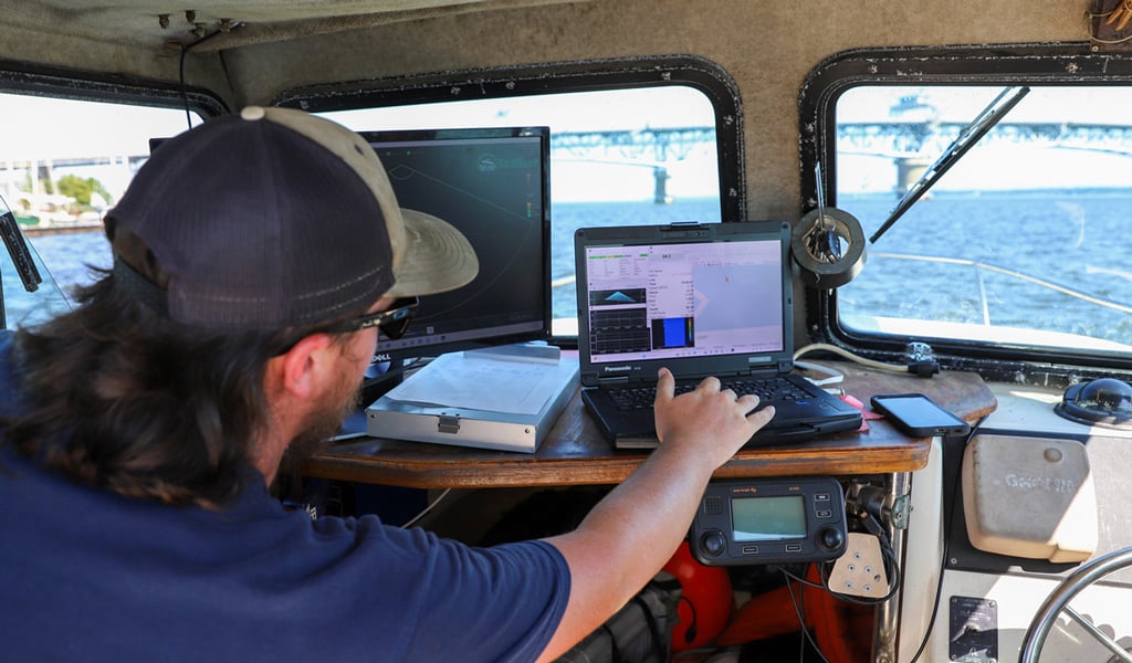
Mike monitors the data inside, watching the sonar readouts.
At the VIMS boat basin, we are focusing on helping the research institute with future improvements to accommodate a new research vessel. Before anything can be designed or built, we need to understand what’s happening beneath the surface—how deep it is, how wide, and what the basin floor looks like, which is where our hydrographic survey services come in.
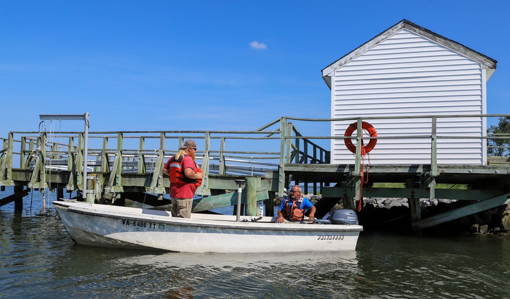
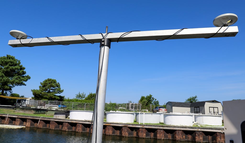
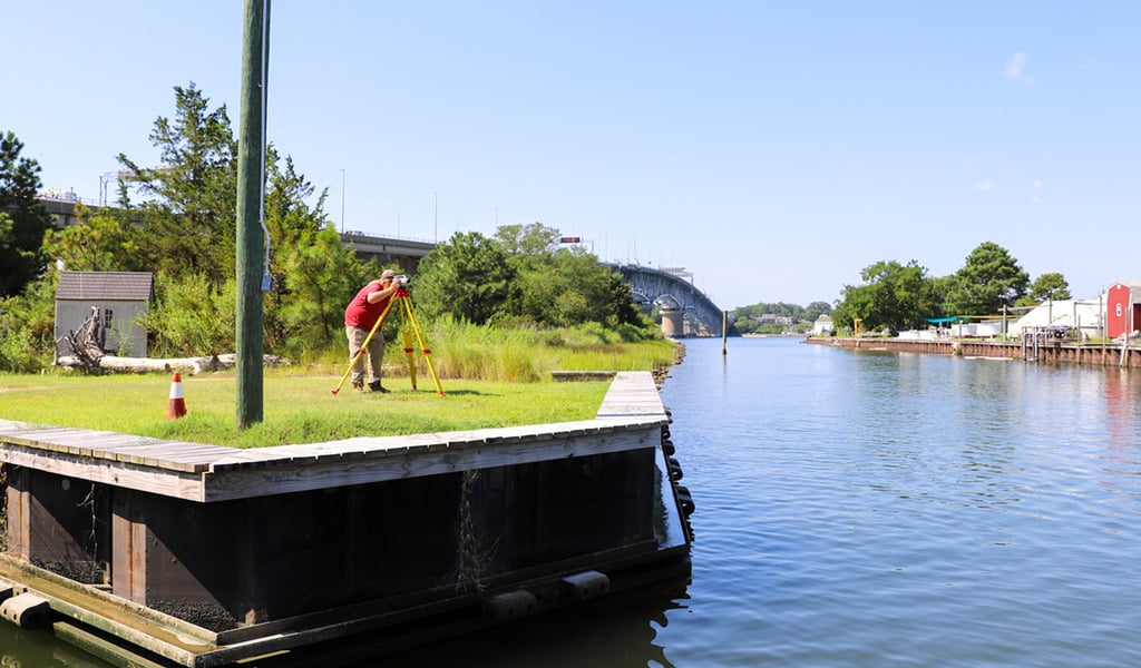
George Rollins and Mike Conklin are at the monitors inside our vessel, watching the sonar readouts as sound waves bounce off the bottom and return in colorful bands that represent depth. Onshore, Chris sets up a total station on a tripod to establish control points—fixed spots that help tie all the underwater data to known elevations on land. Sometimes this is as simple as driving a nail into a dock piling to mark a benchmark. It might look like a small detail, but it guarantees everything we map lines up with the world above water—something our clients rely on when they move into design or permitting.
Tools of the Trade
What’s easy to forget when you're watching the crew in action is just how much know-how it takes to pull this off. Our crews make it look effortless—but there’s a ton of experience behind every step. From running sonar scans in tight corners to setting up control points on shore, everyone knows exactly what needs to happen and when.
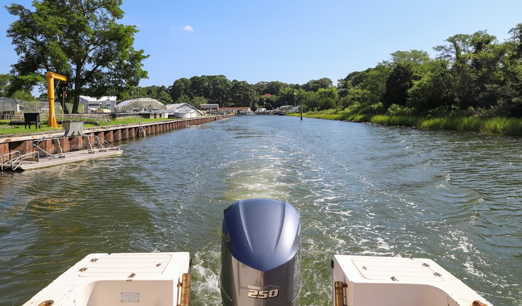
We’ve got the right boats for the job too. Some are small enough to squeeze into shallow inlets, while others—like the one we’re on today—can handle longer runs in open water. One of them even has a boom and winch setup for water and sediment sampling. It’s the kind of gear that lets the team go pretty much anywhere—from quiet stormwater ponds to coastal channels and busy port basins. No two days are the same.
Everything Starts Below the Surface
The day moves fast. We troubleshoot a few minor issues, shift gear between boats, and adjust for wind and water conditions—all while keeping an eye on safety. It’s a smooth operation, but only because the team’s prepared and experienced.
By the end of the day, we’ve collected a full dataset that will feed directly into design plans, dredging calculations, and infrastructure improvements. Most people never think about what’s going on below the waterline—but that’s where every good waterfront project begins. For ports, research institutions, developers, and cities, hydrographic surveying is how you plan with confidence. It’s how you build smarter, safer, and more resilient infrastructure.
Learn more about Geomatics and Coastal Engineering & Resiliency at VHB or reach out to me for more information by sending me an email.