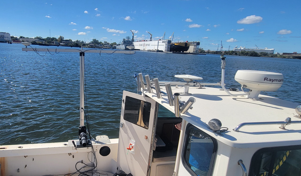
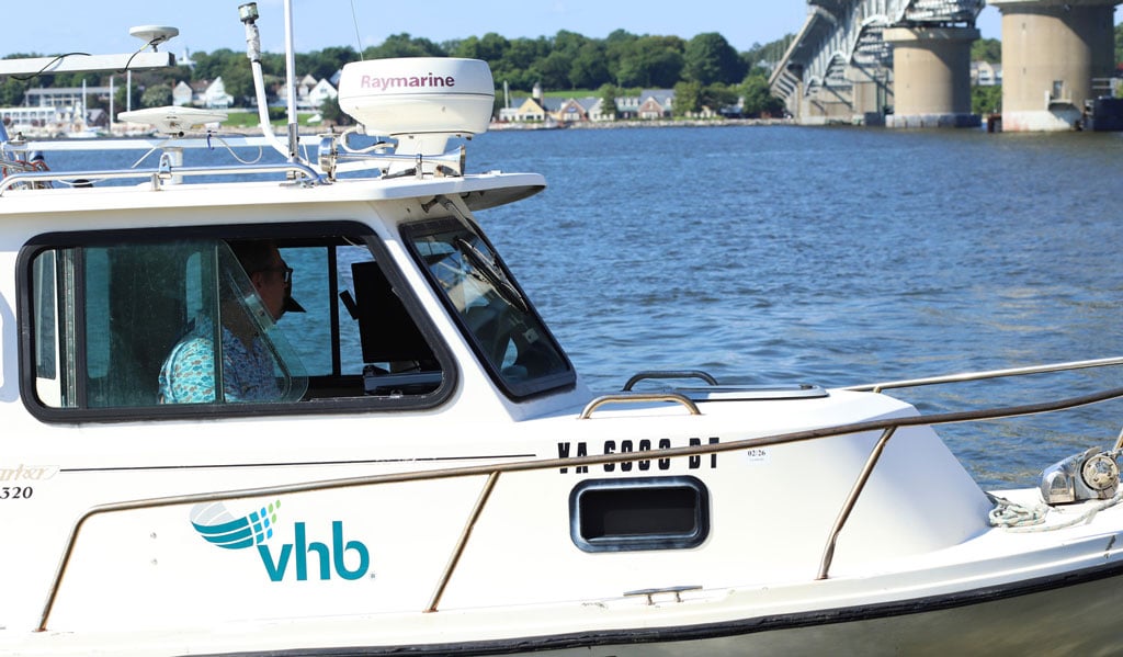
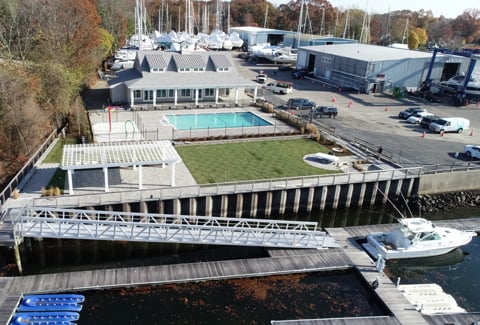
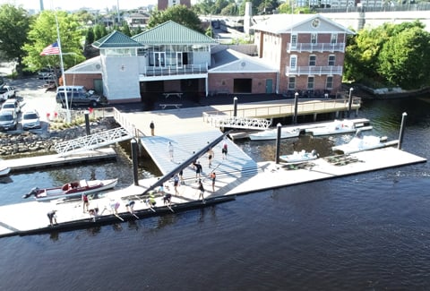
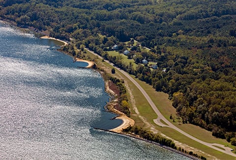
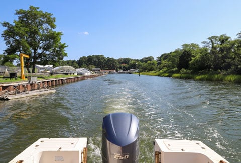
VHB partners with the City of Norfolk on hydrographic surveying and environmental services to support dredging and coastal engineering projects along the City’s waterfront. Our surveys provide critical insight into seabed conditions, shoreline change, and sediment movement, whether using advanced multibeam technology or conventional methods such as single-beam and sound poles, allowing us to adapt to every project environment. This data helps guide maintenance, evaluate project performance, and support resilient coastal infrastructure.
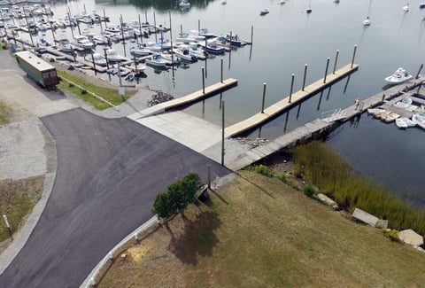
Task orders under this annual contract include supporting neighborhood dredging projects, working alongside the city for the East Beach Renourishment project, and providing hydrographic survey for the city’s flood wall design to protect against storm surge. For the flood wall, VHB conducted detailed multibeam surveys near bulkheads and along sections slated for replacement, delivering precise underwater data to guide engineering and environmental design decisions.
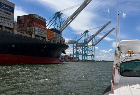
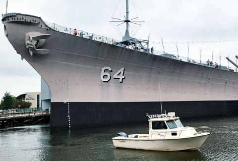
VHB also completed hydrographic surveys and developed a dredging approach for the USS Wisconsin berth, designed to accommodate the ship in place while improving long-term maintenance. By combining high-resolution underwater data with engineering and environmental knowledge, VHB helped the city plan maintenance activities, track sediment movement, and inform future coastal development, supporting a more resilient waterfront for Norfolk.