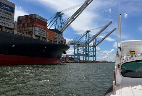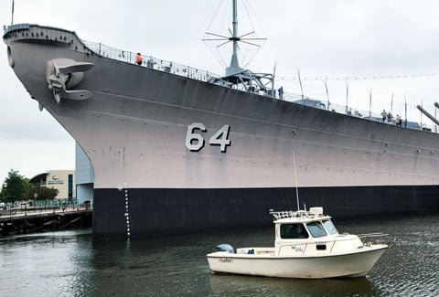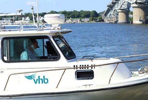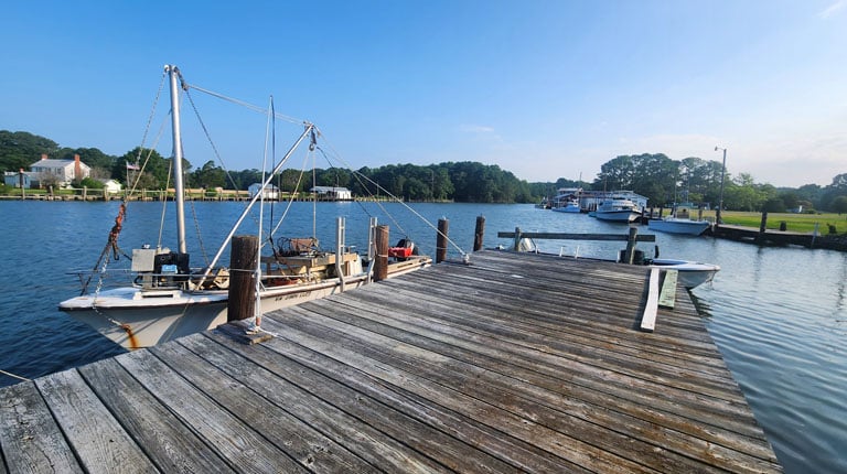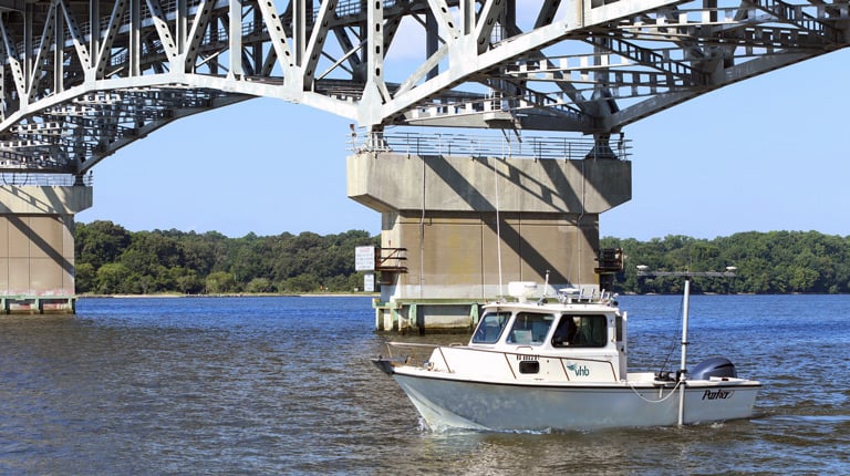
Hydrographic surveys and dredging help keep waterways safe, functional, and resilient.
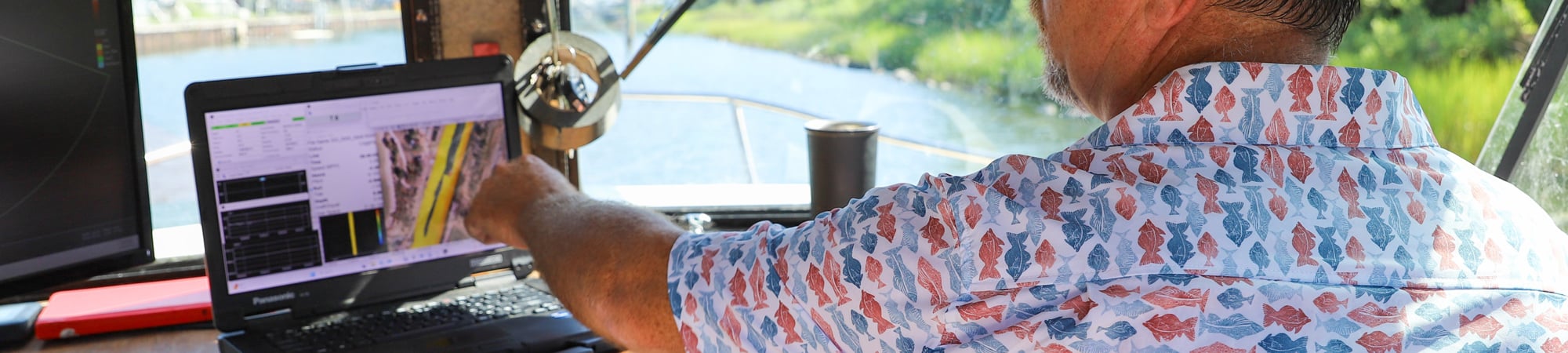
A hydrographic survey maps what lies beneath the water’s surface—measuring depths, charting shorelines, and capturing shape. As a key first step in planning, design, and permitting, this information shows how rivers, harbors, and coastal areas are changing over time. With clear, reliable data, we help clients make informed decisions that support navigation, infrastructure, and long-term environmental health.
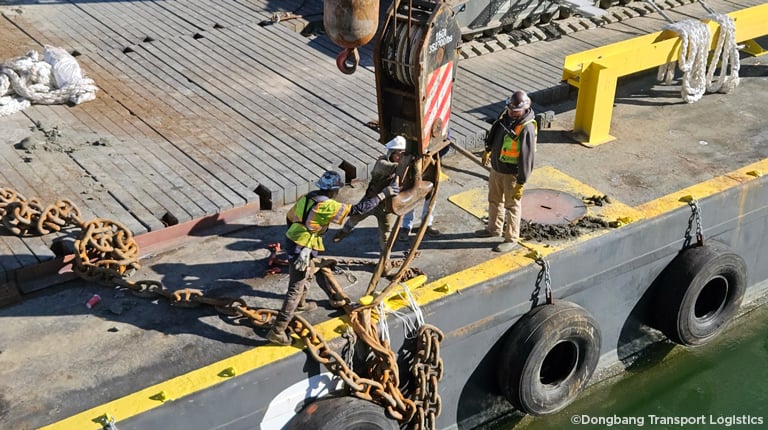
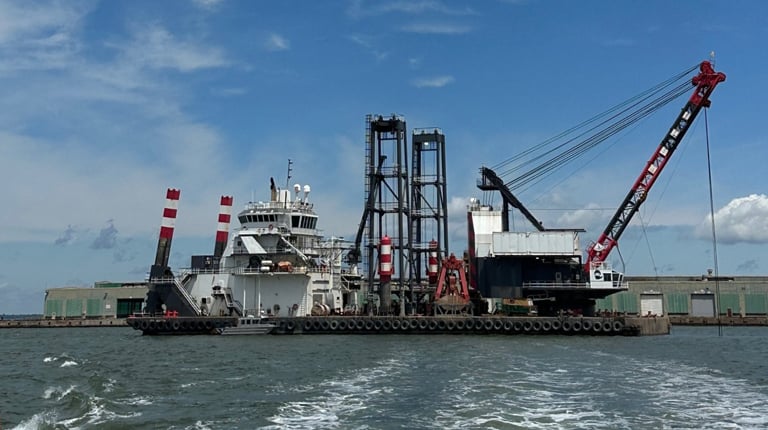
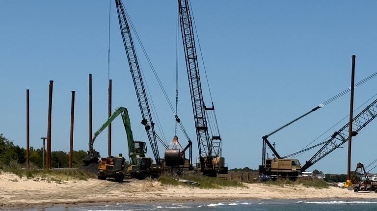
Building on these insights, VHB’s dredging services focus on restoring and maintaining water depth and capacity to support navigation, flood resilience, and ecosystem health. We plan and design dredging solutions for ports, marinas, shipyards, and stormwater systems, addressing sediment buildup that limits access and performance over time. Our holistic approach delivers durable, resilient waterways that support communities and commerce.