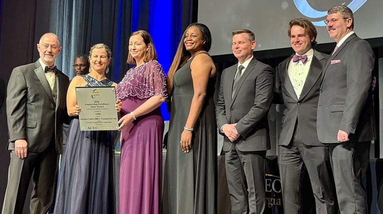
VHB is pleased to welcome Prentiss Lund as Hydrographic Geomatics Manager, strengthening our ability to deliver advanced hydrographic and geospatial solutions. With more than 20 years of experience spanning hydrographic survey, Geographic Information Systems (GIS), and project management, Prentiss brings deep technical knowledge and proven leadership supporting ports, dredging, navigation, coastal resilience, environmental restoration, and offshore infrastructure initiatives.
Throughout his career, Prentiss has applied hydrographic surveys to reduce risk, enhance safety, and support informed decision-making for complex water-based projects.
“Prentiss’s depth of experience across hydrographic survey, marine construction, and federal programs allows us to deliver great value to our clients,” said Bob Taliaferro, LS, CH, VHB Hydrographic Geomatics Director. “His leadership strengthens our ability to provide accurate, reliable data and integrated insights that directly support better project outcomes.”
Prentiss’s experience supporting the National Oceanic and Atmospheric Administration’s (NOAA) ocean and coastal mapping programs, U.S. Navy navigational hydrographic efforts, and U.S. Army Corps of Engineers (USACE) navigation and dredging surveys aligns with VHB’s focus on delivering accurate hydrographic data that informs design, construction, and long-term asset management.
“Prentiss joins a strong hydrographic and geomatics team,” said Frank Mundy, Regional Geomatics Director. “His experience enhances the deep capabilities we’ve built and helps us broaden awareness of these services to expand our reach locally, regionally, and across VHB’s East Coast footprint.