VHB is helping modernize how low-volume roads and trails on Federal Lands are evaluated, combining unmanned aircraft systems (UAS), LiDAR, and advanced geomatics tools to create a repeatable, data-informed process to assess transportation infrastructure. The effort brings together VHB’s geographic information system (GIS), geomatics, and transportation teams to deliver practical solutions for remote and environmentally sensitive corridors where traditional data collection can be limited.
As a partnership between VHB and Iowa State University, the work builds on the Federal Highway Administration (FHWA)-sponsored study, Development of Safety and Traffic Data Collection System and Analysis Framework for Federal Lands. Together, the team advanced a scalable workflow that integrates UAS-based LiDAR, high-resolution imagery, GIS automation, and reality capture techniques to support corridor-level analysis and long-term data usability.
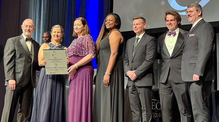
“Through cutting-edge technology and collaboration, we’ve proposed a workflow that brings clarity to challenging, remote environments,” said Ian Hamilton, VHB Transportation Planner. “This gives agencies the confidence to manage and preserve roads and trails for future generations.”
The framework was demonstrated through three case studies:
- Cuyahoga Valley National Park: The team enhanced transportation trail data collection methods, demonstrating how imagery and sensor integration can improve surface distress identification and condition classification.
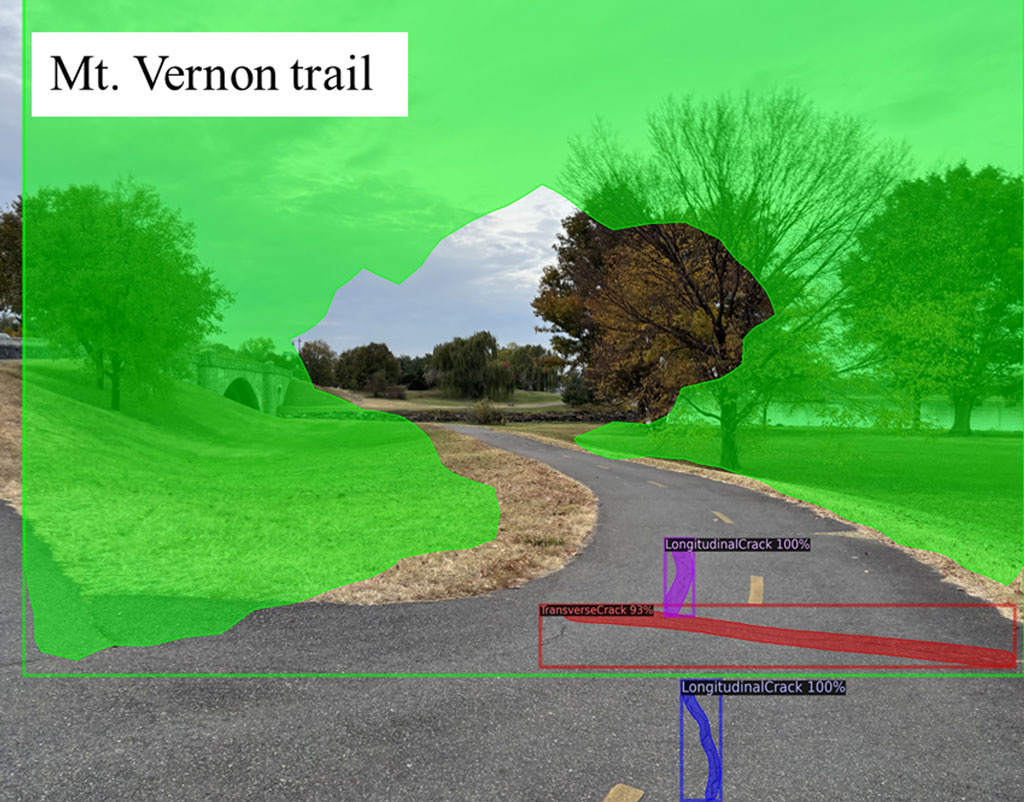
- Mount Vernon Trail, George Washington Memorial Parkway: Automated object detection models successfully identified and classified cracking and trail assets, highlighting the potential for AI-supported network-level assessments.
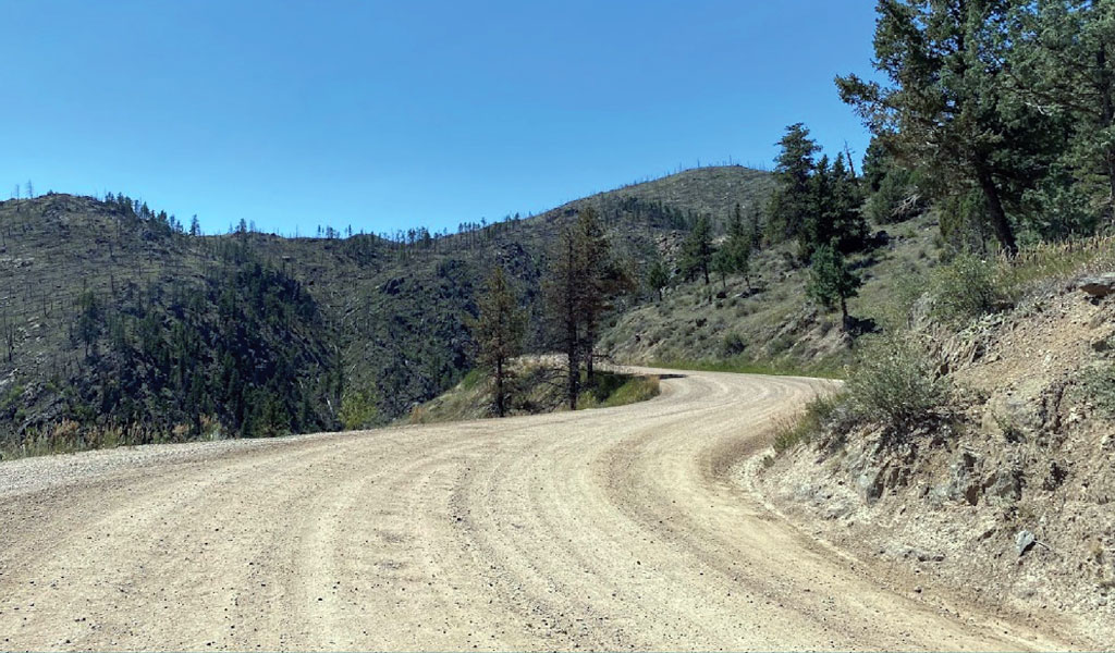
- Okefenokee National Wildlife Refuge: UAS-based LiDAR enabled condition assessment of remote, unpaved roads, confirming the transferability of the approach across varied terrain and vegetation conditions.
By leveraging low-cost tools (like smartphones and bicycles) as well as standardizing flight planning, data acquisition, processing, and automated condition rating, VHB established a repeatable process. This approach improves consistency, expands access, and creates high-resolution datasets that can be archived and revisited to support safer design decisions and long-term stewardship of Federal Lands transportation systems.
Contact Ian Hamilton via email for more information about this project.