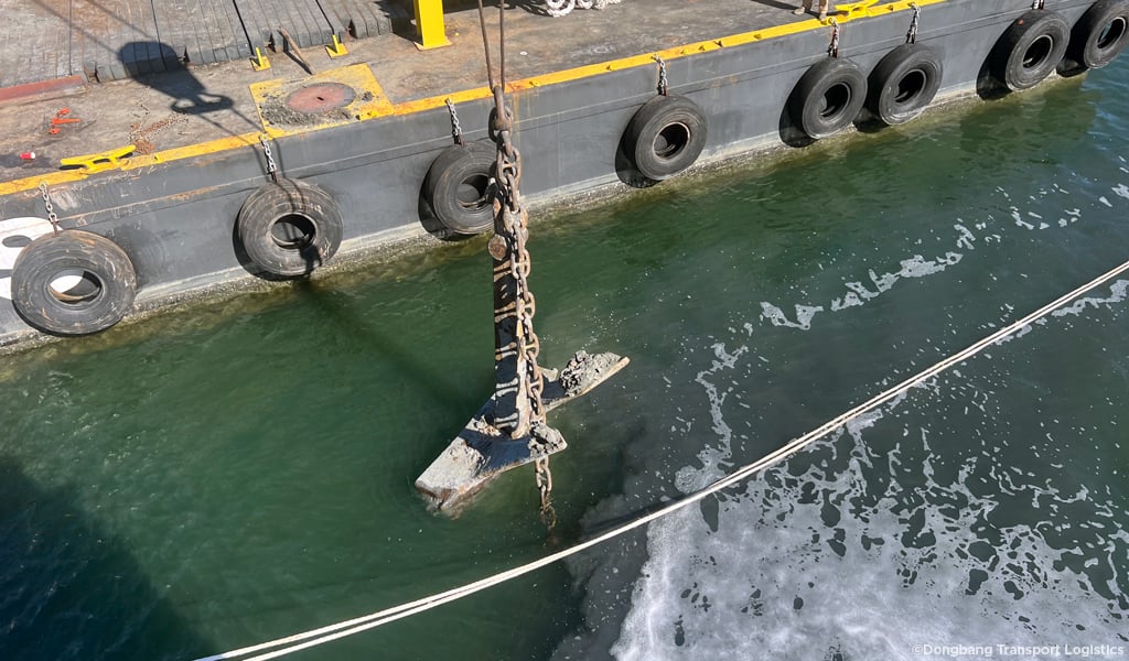
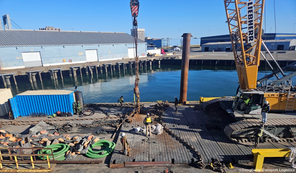
When a ship lost its anchor—and the attached 990-foot chain—in the middle of the York Spit Channel, VHB partnered with Dolan Research, Inc. to quickly survey the area and locate the equipment so a dive team could safely retrieve it out of the waterway. The team used side-scan sonar and a magnetometer to sweep a 2,250-foot by 1,700-foot area of the Lower Chesapeake Bay, gathering the data needed despite choppy sea conditions.
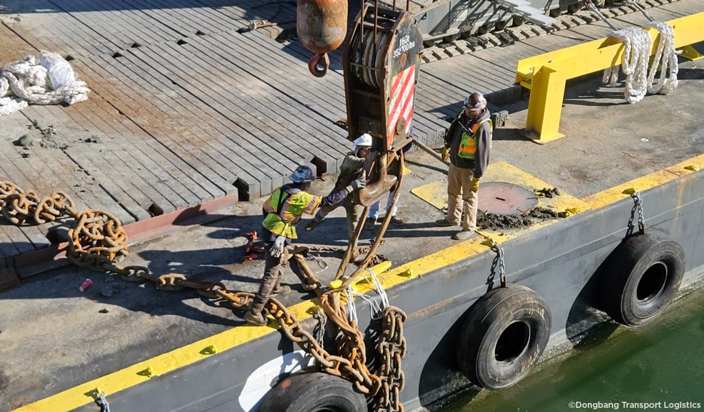
The lost anchor posed more than just an inconvenience. With such a large object resting directly in a busy channel, vessel traffic could have been slowed or rerouted, impacting commerce and daily operations in one of the region’s critical waterways. Hydrographic surveying helps prevent that kind of disruption by revealing the underwater landscape—information that’s essential but often invisible to the public. It’s the foundation for safer navigation, smarter engineering, and resilient waterfront planning.
“People don’t realize how much is happening below the surface and how important it is,” said Josh Duey, VHB Senior Hydrographic Geomatics Crew Chief, who worked alongside Lee Cox of Dolan Research during the survey. “Projects like this show how valuable accurate underwater data can be, whether we’re responding to an urgent challenge or helping shape long-term improvements along our coasts.”
This successful recovery effort highlights the growing demand for detailed hydrographic work as ports expand, shipping lanes evolve, and coastal communities plan for the future. VHB’s commitment to survey technology and partnerships enables the team to support a wide range of projects aimed at keeping waterways safe and efficient for years to come.
For more information about VHB’s hydrographic survey capabilities, contact Bob Taliaferro.