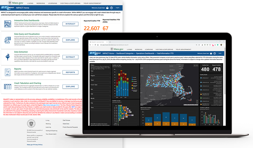
At VHB, we approach challenges with the end user in mind. We designed our enterprise-level Highway Crash & Safety Management Systems (CSMS) to help our state transportation agency clients improve mobility and communication within the communities they serve. This future-focused technology manages the safety of community streets and roadways, streamlines workflows and processes, and helps agencies deploy responses with enhanced speed and accuracy.
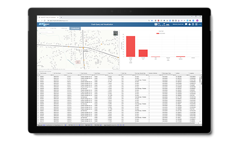
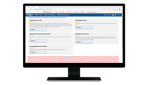
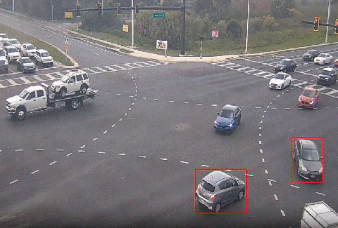
The VHB team delivers a full spectrum of services from requirements analysis, conceptual design, and implementation planning to system development, testing, training, deployment, and operational maintenance and support. Our CSMS solutions include two modern, robust, and forward-thinking components. First, the “crash” component allows a state agency to manage the location of a crash or improve the process of locating or geocoding it, thereby improving the resulting accuracy of the crash data. Second, the “safety management” component meets state agency roadway safety analysis needs by modeling Part B–Roadway Safety Management Process (RSMP) of the AASHTO Highway Safety Manual. This includes advanced network screening, diagnosis, scenario development, and analysis across all six steps of the RSMP.
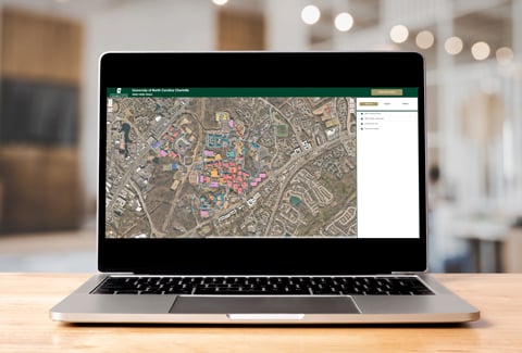
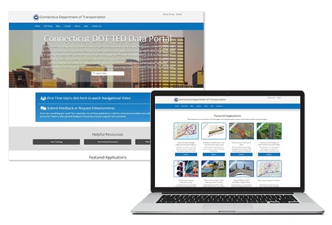
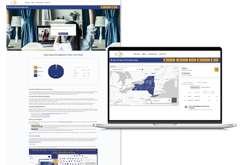
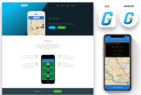
VHB works on a national basis and has or is working with 10 state Departments of Transportation (DOTs) to design, develop, and/or implement key elements of their CSMS. For example, for MassDOT, VHB designed, developed, and now hosts a highway crash Geocoder using a secure, cloud-based, and web service-enabled GIS solution that leverages the technology provided from the department’s preferred geospatial software vendor, Esri. For the CTDOT we worked with UCONN’s Transportation Research Center to build comprehensive safety analysis tools that automate the Federal Highway Administration’s (FHWA) Highway Safety Manual process, including functions such as networking, screening, diagnosis, collision diagraming, and countermeasure selection. For the NYSDOT, VHB is developing a new, customized suite of applications collectively called the Crash Location and Engineering Analysis Repository (CLEAR) system, which provides a series of modules for geocoding, editing, and managing crash data while providing tools for conducting the six-step safety management process to improve roadway safety and reduce the number of crashes, injuries, and fatalities within the state.