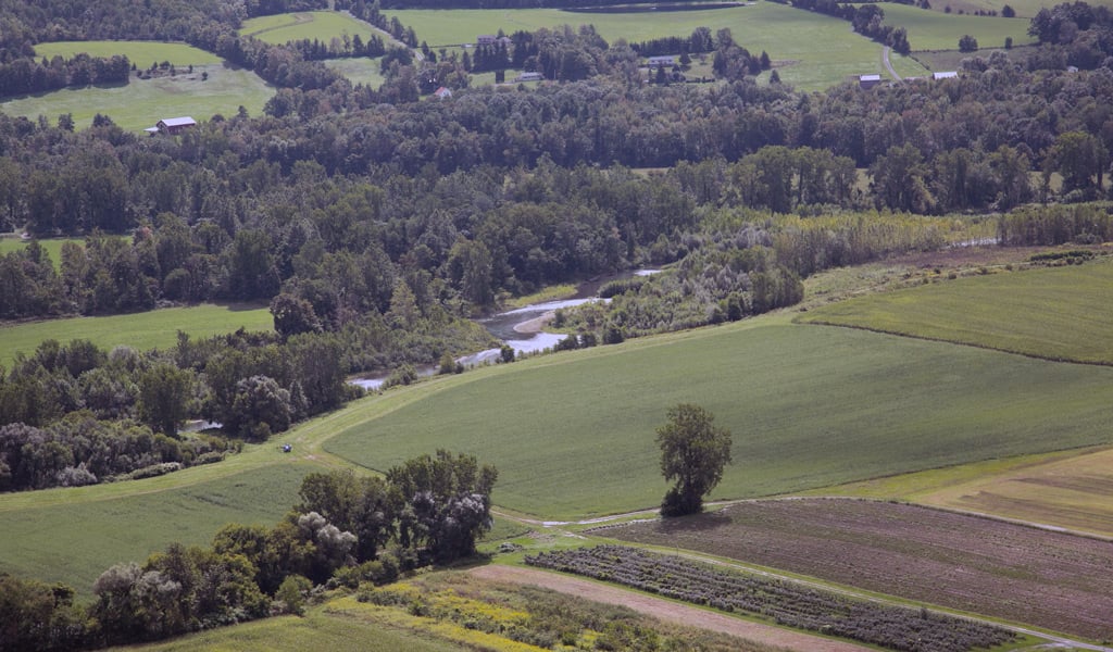
Schoharie County relies on accurate GIS data and mapping to support planning, emergency services, property administration, and land use decisions. Since 2023, VHB has provided ongoing GIS support and geodatabase management across multiple departments and has worked closely with planning staff to develop official zoning maps for every municipality in the County. The project has involved compiling and reviewing reference materials, developing GIS layers, and refining datasets to reflect adopted zoning information. The completed maps have been adopted as the County's official zoning dataset and provide a consistent resource for zoning administration and land use planning.
By modernizing and standardizing zoning information across the County, VHB supports community planning efforts and provides local decision-makers with a reliable foundation for future growth.