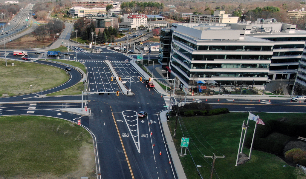
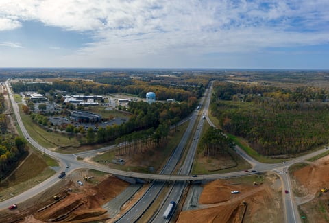
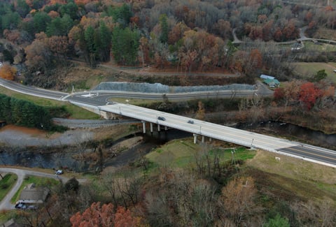
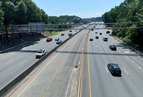
The Route 128/I-95 corridor is a major regional route arcing around Metro Boston that is seeing substantial economic growth and land use development through its use by commuters, residents, long-distance travelers, and freight haulers. This growth, coupled with limited alternative transportation options, has resulted in congestion along the corridor for travelers.
The Massachusetts Department of Transportation (MassDOT) partnered with VHB to conduct a Land Use and Transportation Study along the Route 128/I-95 corridor between Newton and Lexington aimed at improving mobility while continuing sustainable economic development and improving quality of life for corridor users.
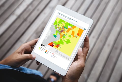
To better understand the health profile of the municipalities within the study area and how the built environment influences health outcomes, VHB conducted a Community Health Risk Assessment using the Healthy Mobility Model. The assessment evaluated which aspects of the community’s socioeconomics, built form, and transportation characteristics were related to public health outcomes. The results of this evaluation will inform the analysis of potential infrastructure and policies improvements and how they may benefit community health.