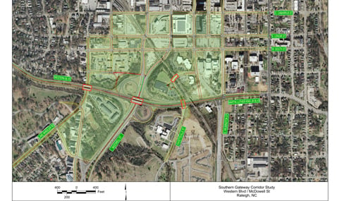
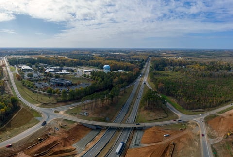
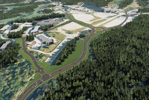
With robust growth occurring across Raleigh, North Carolina, in the last several years, the “Southern Gateway Corridor” needed improvements for connectivity, safety, new infrastructure, and improved public realm spaces. As part of a multidisciplinary team, VHB crafted a multimodal transportation plan for the corridor—the key southern entrance to downtown surrounded by several strategic assets, including its adjacency to the downtown core, historic sites, industrial spaces, and readily available redevelopment sites. The overarching goal of the project was to enhance the vitality of the communities in the study area and to encourage both environmental and economic sustainability.
Working with Raleigh’s Urban Design Center and JDavis Architects, VHB crafted a multimodal transportation plan that is integrated with the study’s redevelopment plans to support the objectives of the City’s land use and transportation plans and policies. The Raleigh Urban Design Center developed a Draft Vision Document through public workshops that presented a clear focus for the corridor’s visual character and key development and transportation themes and issues. The design team analyzed transportation, streetscape, urban character, and land use outcomes reflecting the direction already established by the Vision document and provided detailed recommendations on addressing the key issues.
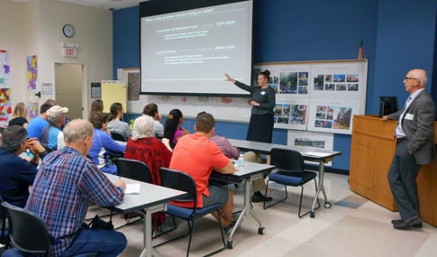
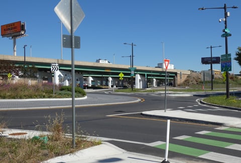
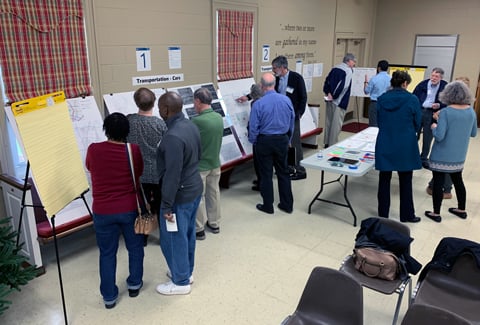
This effort featured extensive public and stakeholder involvement and carefully assessed needs and opportunities associated with pedestrian, bicycle, transit, and vehicular access options. Crash reductions (especially involving bicyclists and pedestrians), access management, and implementation were also emphasized.