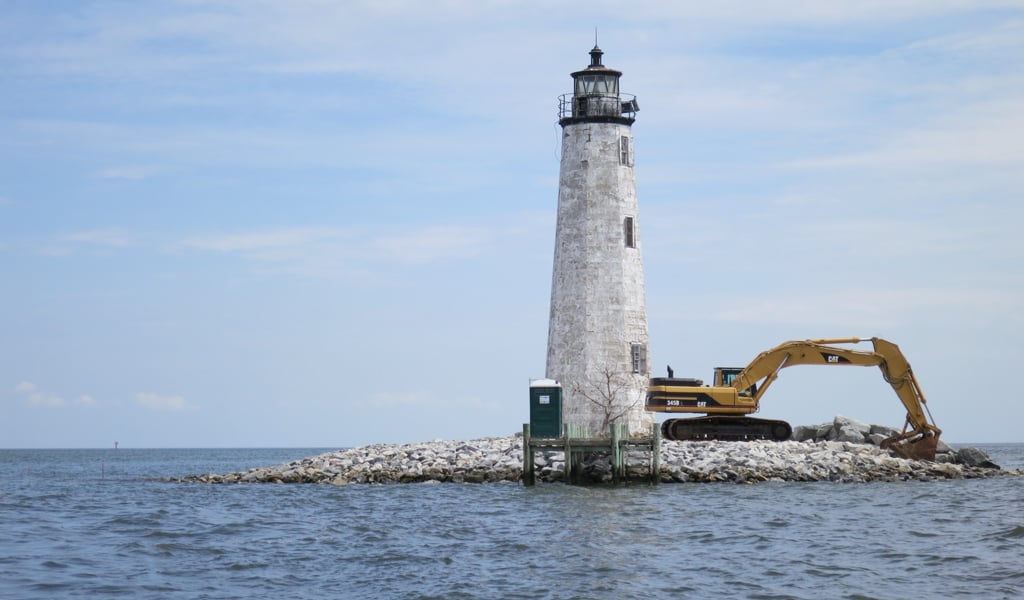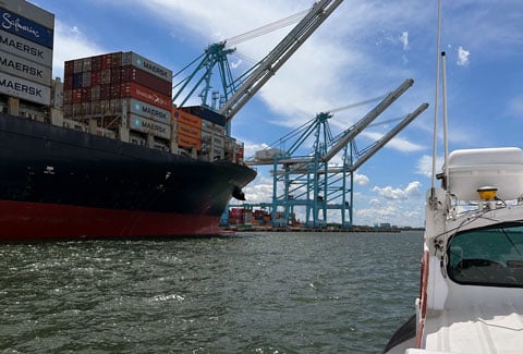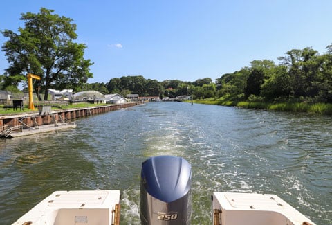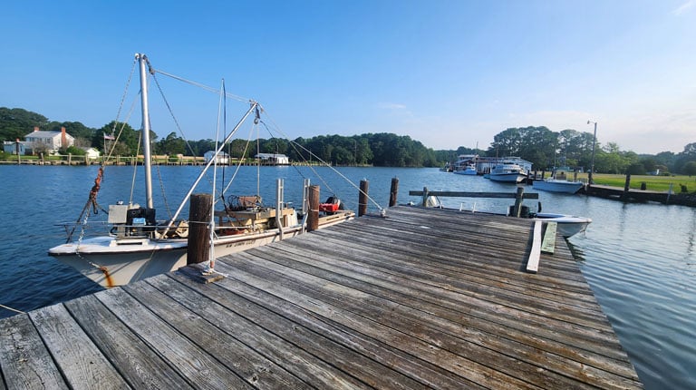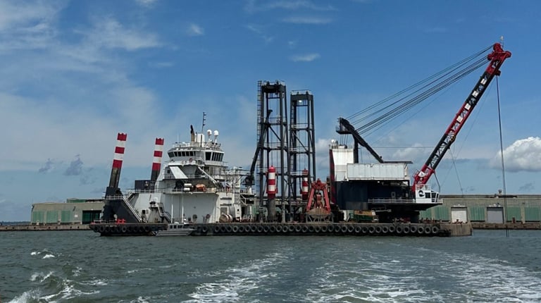
Hydrographic surveys and dredging engineering are essential to maintaining safe and reliable navigation in federal channels and for accessing waterways serving marine terminals, shipyards, marinas, and boatyards.
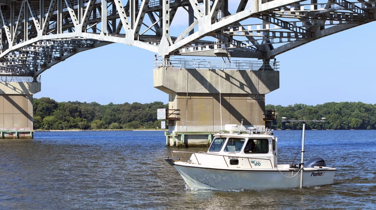
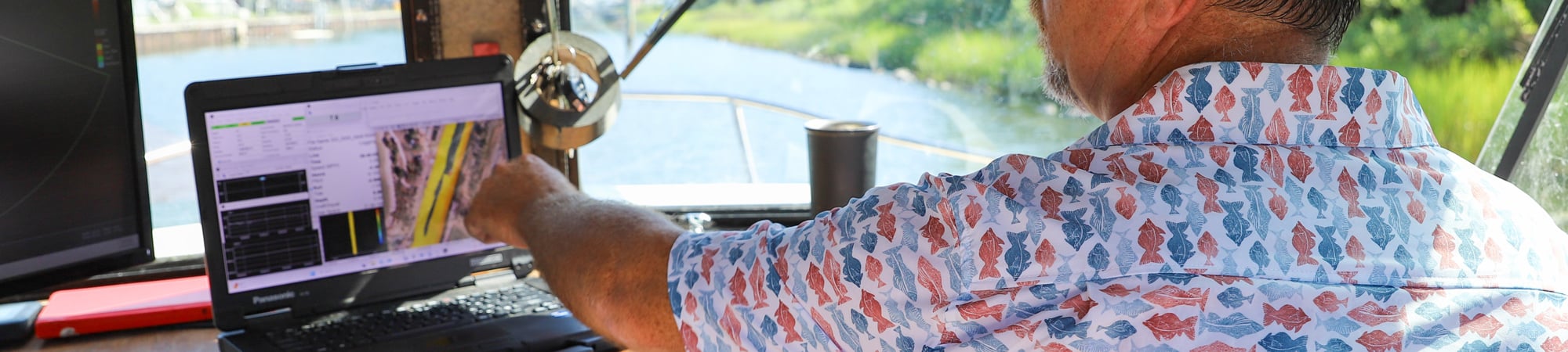
Hydrographic surveys define underwater channel conditions by measuring water depths, mapping channel geometry, and documenting seabed features and shoreline position. Using sonar-based systems and precise positioning, these surveys provide high-resolution data to evaluate channel conditions, identify shoaling, and quantify sediment accumulation. The resulting information supports navigation assessments, dredging design, and regulatory permitting, and allows owners and operators to track how channels and berthing areas change over time.
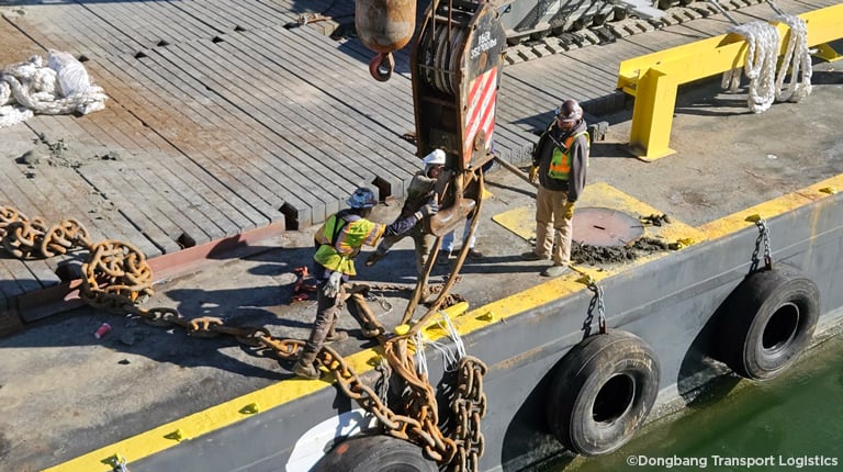
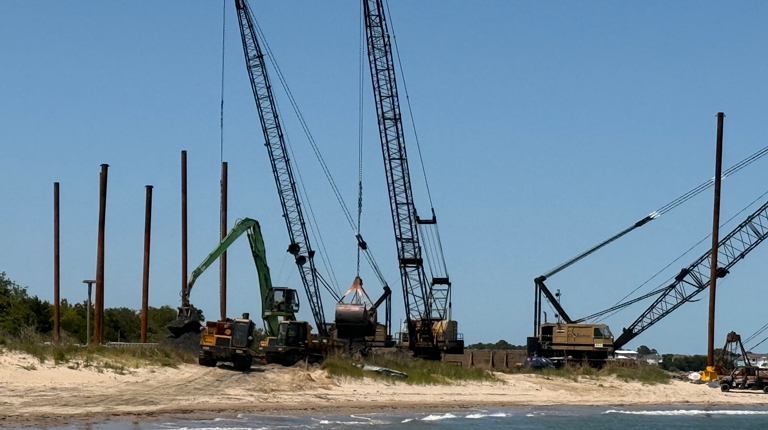
Building on this data, VHB’s dredging engineering services focus on restoring and maintaining authorized channel depths and safe vessel access. We prepare dredging plans and construction documents for federal navigation channels, marine terminal approaches, shipyard berths, and marina and boatyard access channels affected by sedimentation. Our work includes sediment characterization, dredge prism development, volume calculations, beneficial use or disposal planning, and regulatory coordination—making certain navigation infrastructure remains accessible for commercial shipping, vessel operations, and recreational boating.