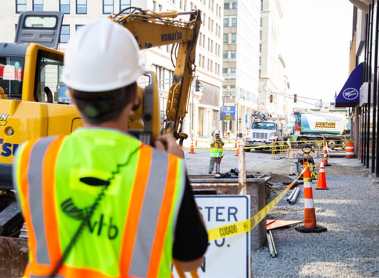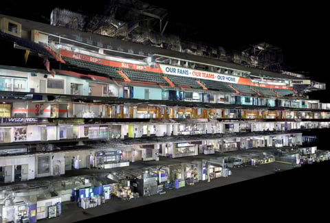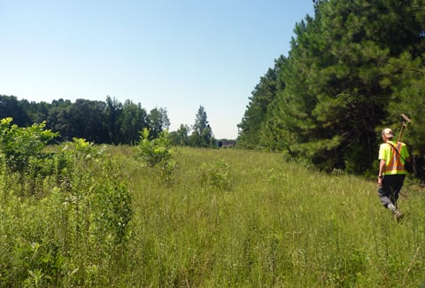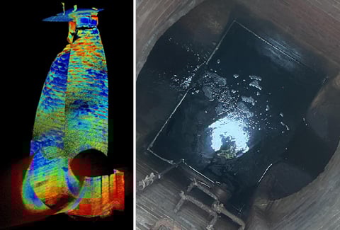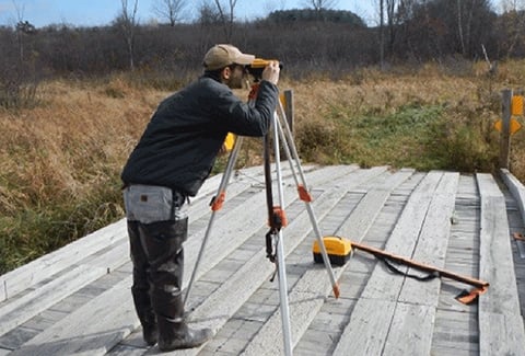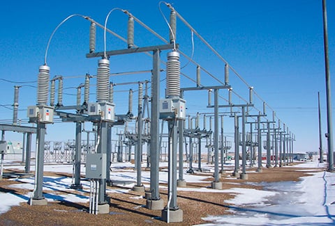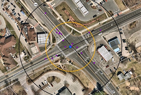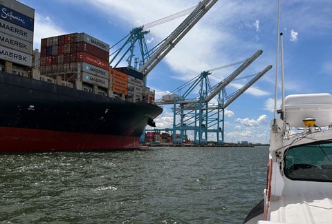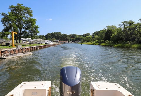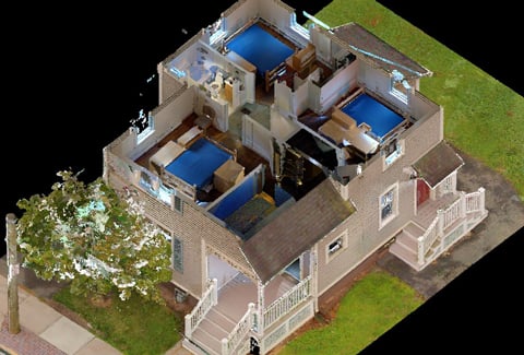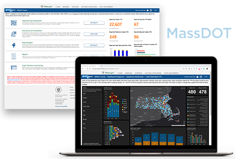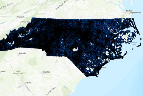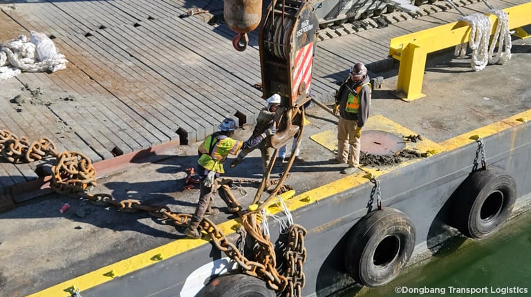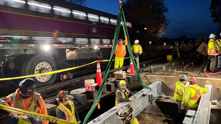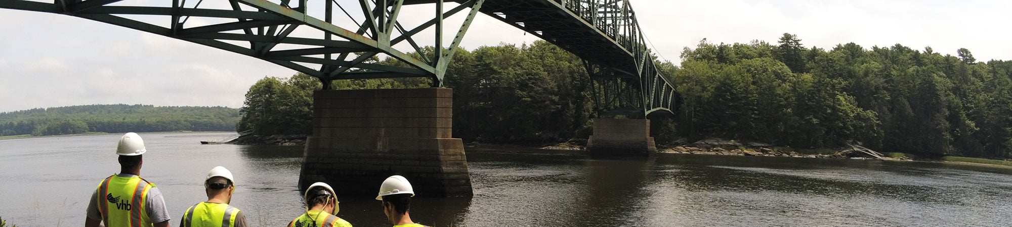
At VHB, our Geomatics team focuses on spatial-centric data collection and management services. Geomatics refers to the methods and technologies used to collect, distribute, store, analyze, process, and present geographic data. Our Geomatics professionals encompass the fields of surveying, geodesy, global positioning systems (GPS) mapping, hydrography, photogrammetry, remote sensing/LiDAR scanning, and geographic information systems (GIS).
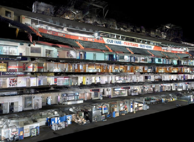
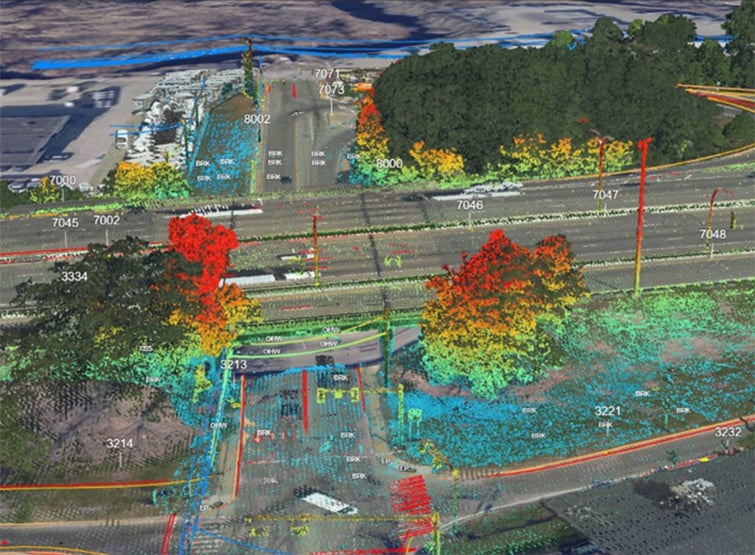
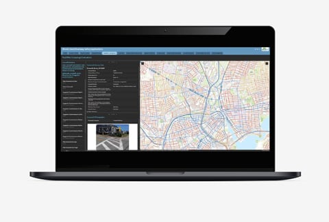
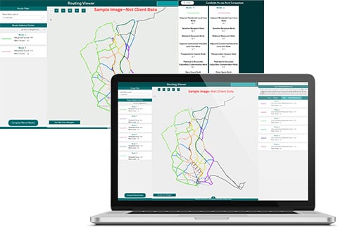
VHB proactively addresses project challenges, leveraging our experience and commitment to deliver timely geospatial data. We utilize an innovative GIS and data management platform for efficient survey data collection and integration. Our surveyors excel in maintaining schedules, adapting to changes, and maintaining project continuity. Using technologies like GPS and LiDAR (terrestrial, mobile, and aerial) coupled with our proven data collection workflows, we deliver quality surveys within scope and budget, from start to finish.