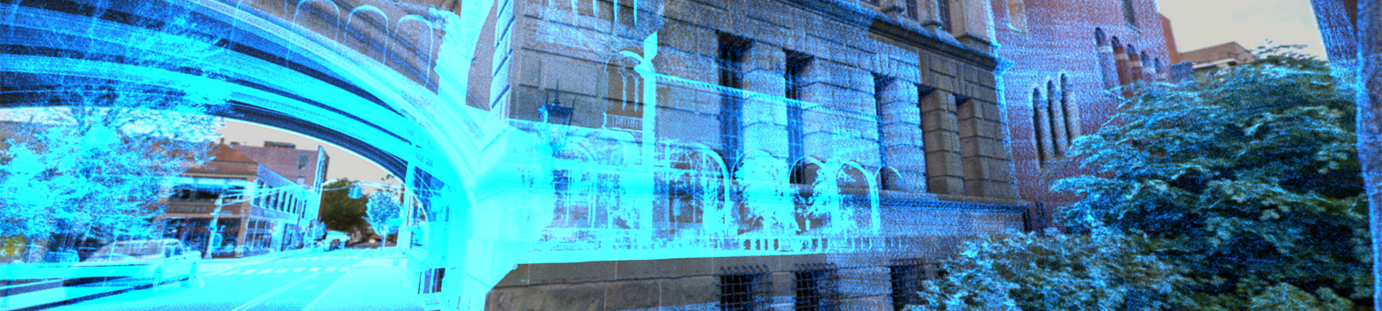
Reality Capture refers to the collection of three-dimensional (3D) spatial data of the physical world using remote sensing technologies to create detailed digital representations.
VHB delivers Reality Capture services that utilize advanced practices, including high-definition laser scanning (LiDAR), Unmanned Aerial Systems (UAS), and hydrographic (sonar) surveying, to precisely measure remote objects and create geometrically accurate 3D digital representations. The resulting models, maps, and other spatial outputs improve visual clarity, deepen understanding, support collaboration, and enable more informed decisions.
Featured Services
-
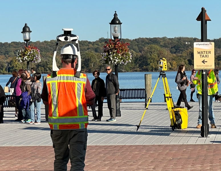
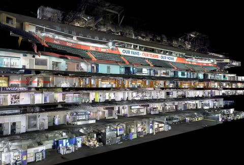
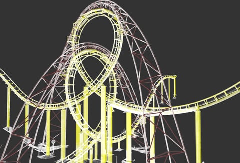
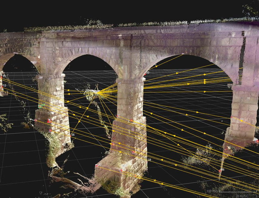
Terrestrial/Aerial High-Definition LiDAR
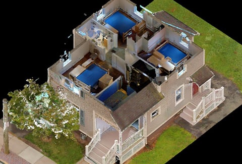
VHB combines traditional survey methods with advanced LiDAR technologies to accurately capture the details of the 3D environment. Using vehicular, walkable, UAS, and static based LiDAR, we efficiently document existing conditions with millimeter-level accuracy. By creating comprehensive 3D digital representations, VHB’s LiDAR services provide a strong foundation for model-based design, rehabilitation, and maintenance projects.
-
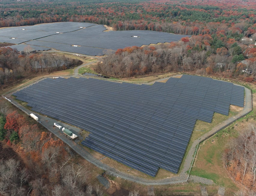
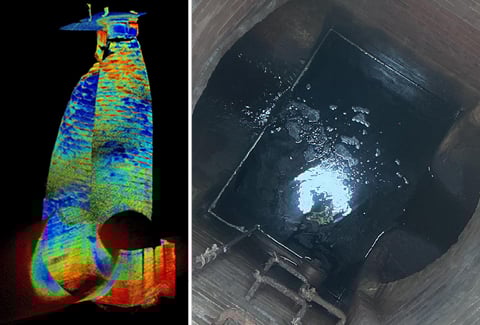
Unmanned Aerial Systems
VHB’s Unmanned Aerial Systems (UAS) services use multirotor and fixed-wing remotely piloted aircraft to support mapping existing conditions, traffic studies, inspections, and environmental assessments. Our experienced pilots operate a range of aircraft, including government-approved, blue-listed platforms and sensors, for both small- and large-scale projects. These UAS services provide the timely, high‑quality information needed in a world that demands expedient outcomes.
-
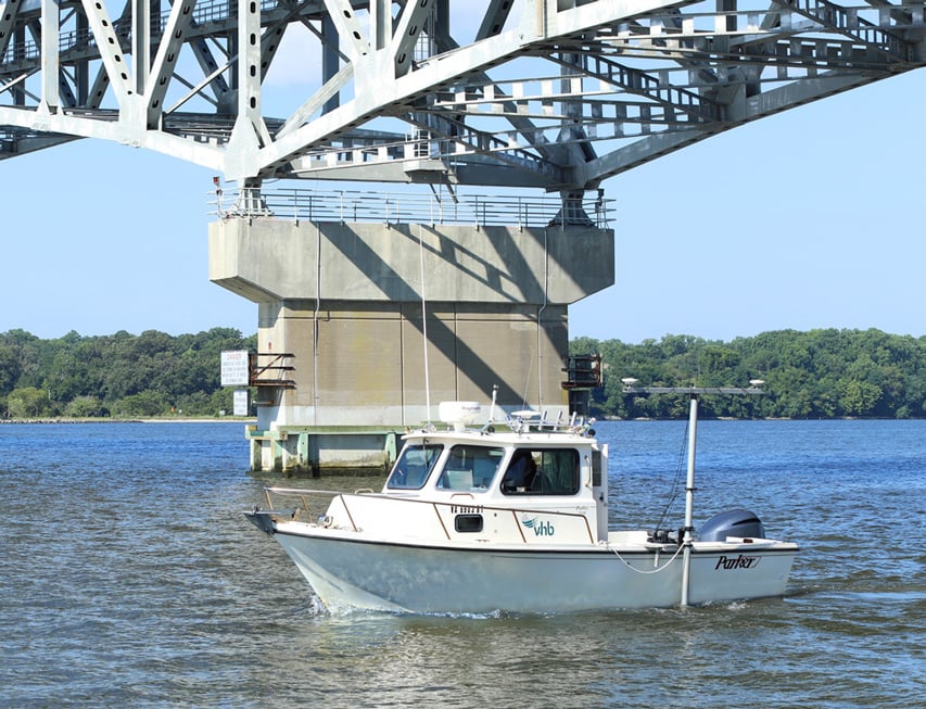
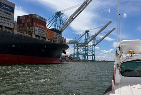
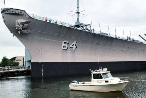
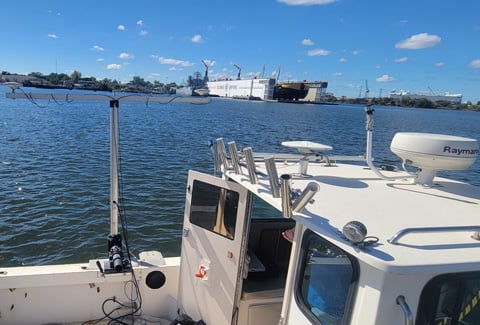
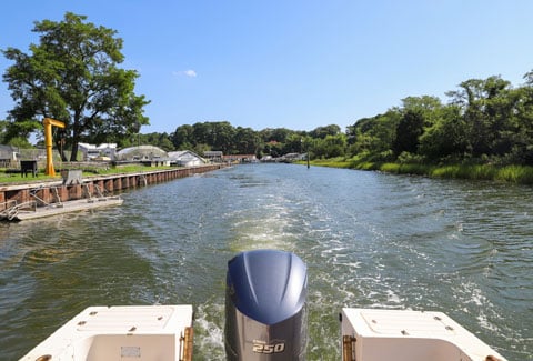
Hydrographic Survey
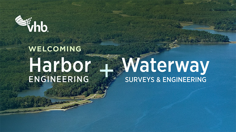
Hydrographic surveys map what lies beneath the water’s surface, measuring depths, charting shorelines, and capturing the contours of the seafloor. This data provides critical insights into how rivers, harbors, and coastlines change over time. By supporting safer navigation, smarter infrastructure decisions, and long-term resiliency, VHB’s hydrographic survey services help create healthier, more sustainable waterways.
-
Integrated Geospatial Data
By integrating Reality Capture with GIS and 3D modeling applications, VHB delivers comprehensive datasets that inform every stage of a project. Whether supporting bridge and structure maintenance, rehabilitation planning, or new design efforts, our technology-forward approach creates accuracy, efficiency, and long-term value for our clients.